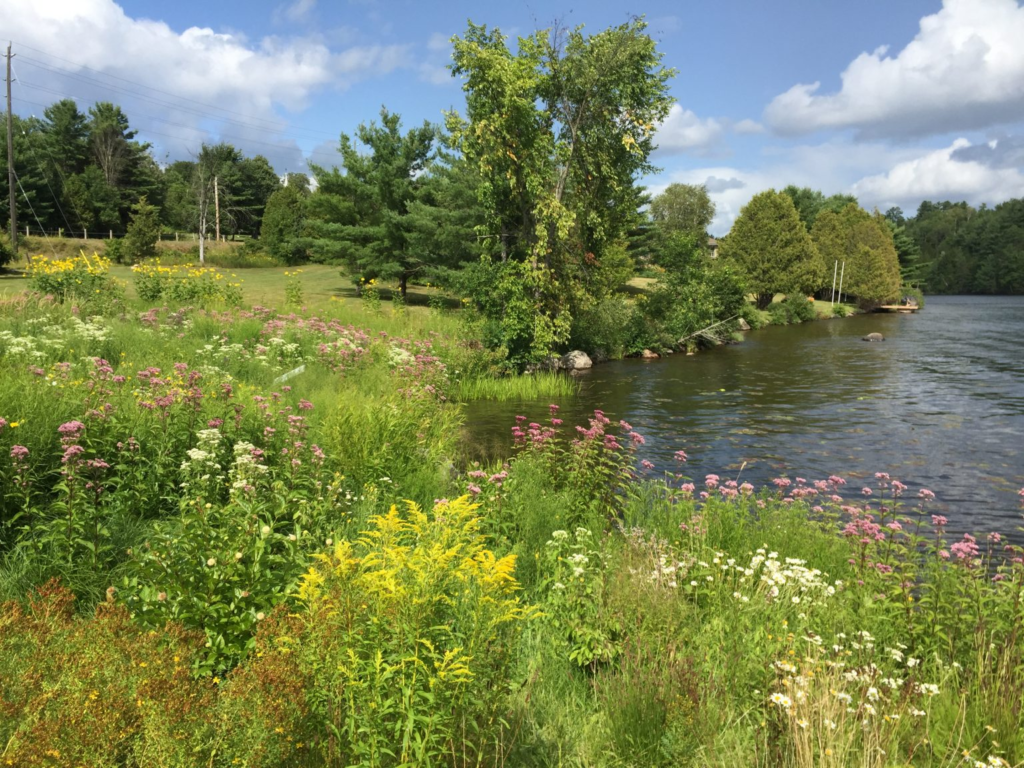
Muskoka Water Web
There are over 680 lakes in Muskoka greater than eight hectares in size. The Muskoka Water Web was developed by The District Municipality of Muskoka to provide a portal to information about Muskoka’s most cherished resource – water.
Find “Resources by Topic” –Here
The Muskoka GeoHub
Search and Visualize GIS Data, Maps and Applications
*NEW* – The Muskoka GeoHub now has a new feature in the GeoHub Floodline and LIDAR mapping application that displays a water level station layer, showing water levels across the region in real time.
Plant Database – Natural Edge (watersheds.ca)

We All Belong To a Watershed
While 95 per cent of Ontario’s population lives in watersheds managed by a Conservation Authority, we in Muskoka do not. Learn more about Muskoka’s watershed in We All Belong To a Watershed — MLA Yearbook 2020.
Find Local Climate Groups & Initiatives – Here